
 - Professional Surveying and Aerial Mapping 
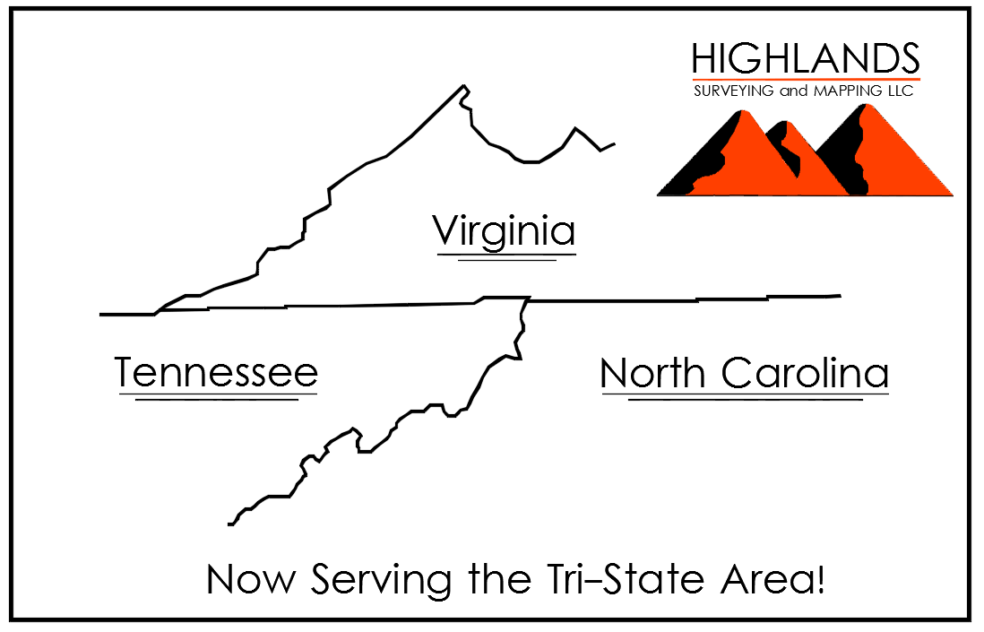
- Who We Are- Highlands Surveying and Mapping was organized in 2018 by Jim Halsey and Aaron Fleenor. - Jim grew up in Grayson County, Virginia with an Engineering Technology background. Jim has experienced surveying at nearly every level of technology from Pulling a Chain with hand written field notes, to processing data from GNSS Satellites. He has managed multiple Survey crews for years and can multi-task as good as any. He is also well versed in legal principles and boundary law. Jim holds Surveying Licenses in Virginia, Kentucky, and Pennsylvania and also holds an AA&S Degree in Engineering Technology. - Aaron grew up in Northeast TN, and Southwest Virginia and comes from an Engineering and Surveying background. Like Jim, Aaron has a unique mix of outdoor, mechanical, technology, and hands on set of skills required to excel in surveying. Aaron was exposed to Surveying while attending college at Virginia Tech college of Engineering, and changed majors to Surveying and Mapping at East Tennessee State University. Aaron Holds an AA&S Degree in Engineering, and a B.S. in Surveying and Mapping from ETSU. Aaron also holds Surveying Licenses in Virginia, North Carolina, and Tennessee. - Here at Highlands Surveying, we bring tried and true Surveying practices with the most up to date technology. - Honesty- As Professional land Surveyors, our fiduciary responsibility is promoting the general welfare and protecting the public by safeguarding life, health, and property. 
- Area's We Cover  - Based out of Southwest Virginia, we find it necessary to hold Professional Surveying Licenses in each State to cover the Tri-State Area.
- Consulting / Pricing - Pro-Bono Service- We understand how it can be difficult to know what you need. So we do not charge for any up front consulting, or project estimates. - Pricing varies based on your needs, so lets chat to establish a price! 
- Types of Surveys - Boundary | ALTA | Topographic | Aerial Mapping | Construction | Flood Certificates | Site Plans
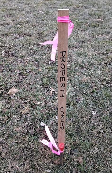
  - Boundary Surveys - -Corners Only: Flag Corners - -Full Survey: Flag and Plat Included - -Boundary Adjustments: Plat showing adjustments
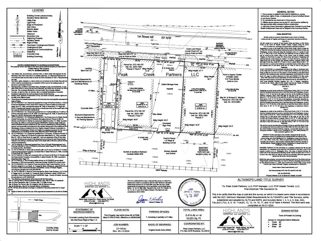
  - ALTA Surveys - If inquiring about an ALTA Survey, Please include the "Table A" Requirements needed.
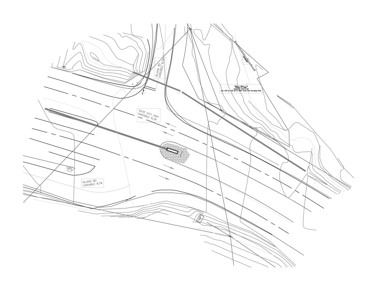
  - Topographic Surveys - Topographic Surveying to assist with Engineering Design
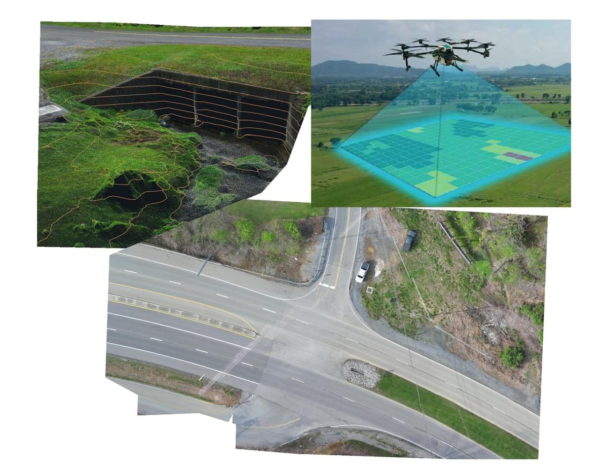
  - Aerial Mapping - Utilizing Photogrammetry to produce orthophotos and topographic features using Autel Robotics
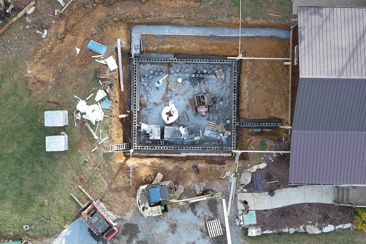
  - Construction Layout - Utilizing Robotic Total Stations to lay out anything on site.
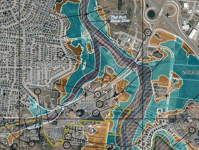
  - Flood Certificates - We offer Flood Certificates, along with Letter of Map Amendments (LOMA) to assist in removing you from a flood zone, if you qualify. 
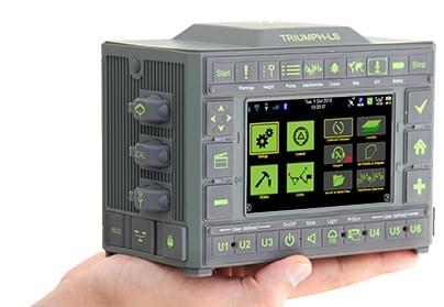
- Our Equipment  - Javad GNSS - -The Latest in JAVAD GNSS Sub-Centimeter Accuracy
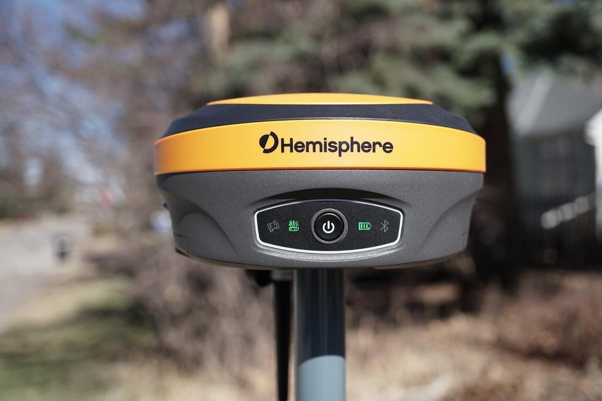
  - Hemisphere S631 - Simplistic, yet rugged Hemisphere S631 from our friends at Bench Mark Equipment and Supplies Inc.  - 
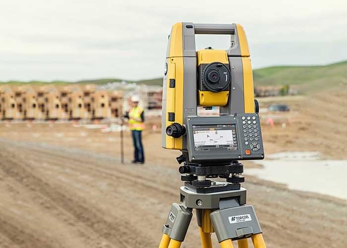
Topcon PS103A Robotic Total Station - 3 Second Robotic Total Station, for when Sub-Centimeter Accuracy is not tight enough!  - Autel Evo 2 Pro V3 RTK - From Autel Robotics, the latest in quad copter photogrammetry. Offering a 6k Camera, and Centimeter level accuracy. 
- Meet Our Team- Highlands Surveying Team - Jim Halsey, LS - Co-Owner - Aaron Fleenor, LS - Co-Owner - Dave Price - Crew Chief - Ted Dingler, LS - Crew Chief - Andrew Jones - Crew Chief, Part 107 
- Contact Us- Jim Halsey, LS - jimhalsey7@gmail.com - (276) 608-7777 - Aaron Fleenor, LS - afleenor@hsmllc.org - (276) 477-4180 
- Client Inquiry Form- Please fill out the following form and we will respond as soon as possible. 
Copyright © 2002 - 2018 Eckhart Consulting. All rights reserved.


